This project proposes to develop a local, data-supported, lake-level model to serve as a watershed management tool and to provide a demonstration study for similar efforts throughout the state of Minnesota.
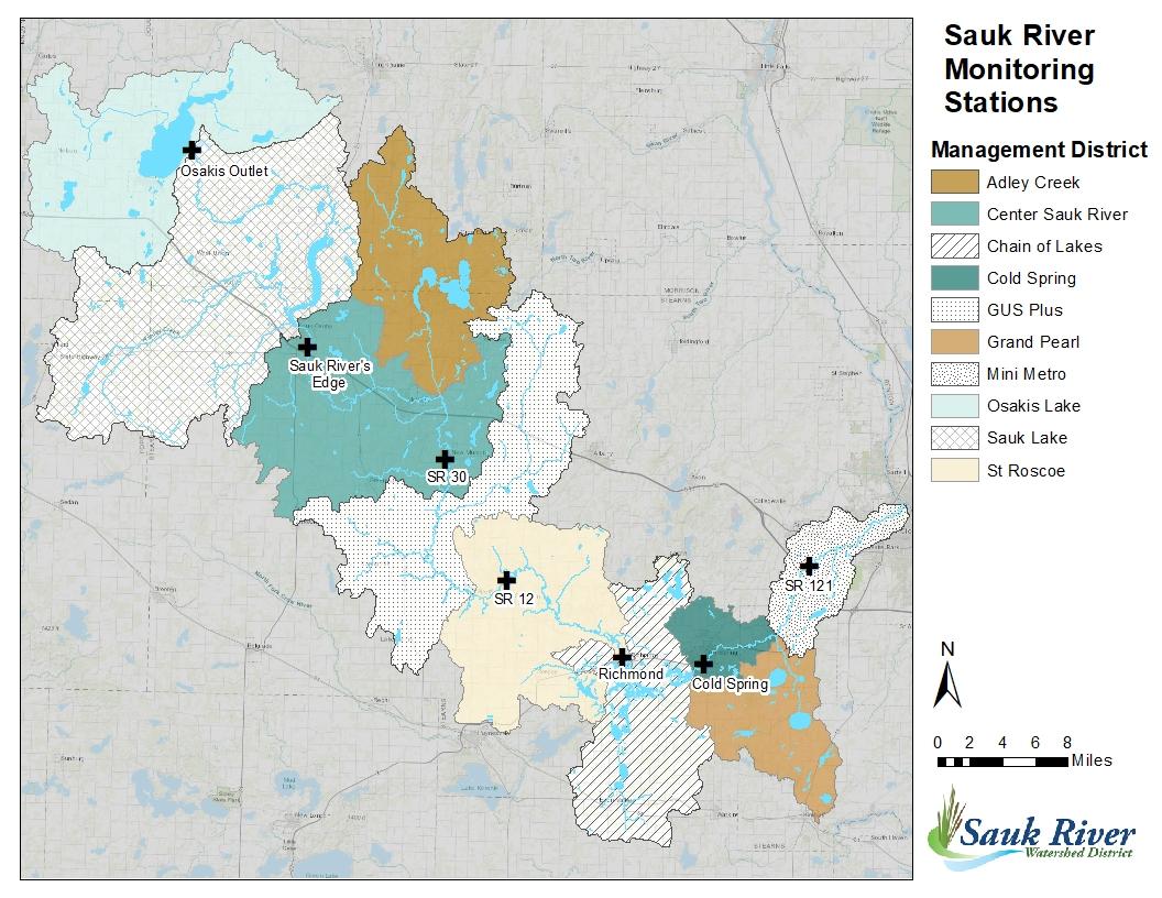
Sauk River Monitoring Station map used with permission from Sauk River Watershed District Minnesota Environmental Monitoring Manager and project collaborator Allison Lightfoot.
Project description
The Sauk River Watershed (SRW) stretches from the northwest to the southeast in Central Minnesota. It begins near Lake Osakis and flows into the Mississippi River in St. Cloud, Minnesota.
In the lower part of the SRW, there's a special area called the Chain of Lakes District (CLD). This recreational area, covering 95 square miles, serves as a significant economic resource to Stearns County. The Cold Spring Dam at the end of the river turns the Sauk River into a system of lakes with short water residence times.
The area has been altered by the draining of wetlands, straightening of streams, and the digging of ditches to accommodate growing communities and agriculture. These land changes have highly modified the watershed's hydrology and led to accelerated runoff, reduced runoff storage capacity, and diminished surface water-groundwater connections.
The effects of these activities, most of which result in higher water levels during heavy rainfall, further compound downstream issues and risk to life and property within the watershed.
The Saulk River Watershed Chain of Lakes District is at the receiving end of much of this modified hydrology. This project proposes to develop a local, data-supported, lake-level model to serve as a watershed management tool and provide a demonstration study for similar efforts throughout the state of Minnesota.
Importance and relevance
In 2022, members of the Sauk River Chain of Lakes Association (SRCL) deployed lake-level monitoring equipment following a high-water event earlier that spring. The initial goal was to provide extra monitoring information to residents so that they may have a better idea of the initial state of the lake prior to a heavy precipitation event.
It was supposed that high lake levels prior to heavy rainfall over the local Chain of Lakes District area or in upstream locations of SRW could serve as an indicator for residents to take action in order to protect their property.
However, the SRCL determined that a more sophisticated and proactive approach would be necessary to quantitatively inform the public of impending high water level risk compared to a reactionary-type delivery that relies only on current, observed lake levels.
Residents and visitors within CLD have become acutely aware of the impact of high-lake levels in their community, as this emerging tourist economy has grown within the last several years in tandem with high water-level frequencies resulting from heavy precipitation events.
Funding
This project is supported by a Minnesota Sea Grant 2023 Fast-Track Grant.
Project team
Principal Investigator:
Andrea Thorstensen
Assistant Professor
St. Cloud State University
Lead scientist(s)
Andrea Thorstensen
Assistant Professor
St. Cloud State University