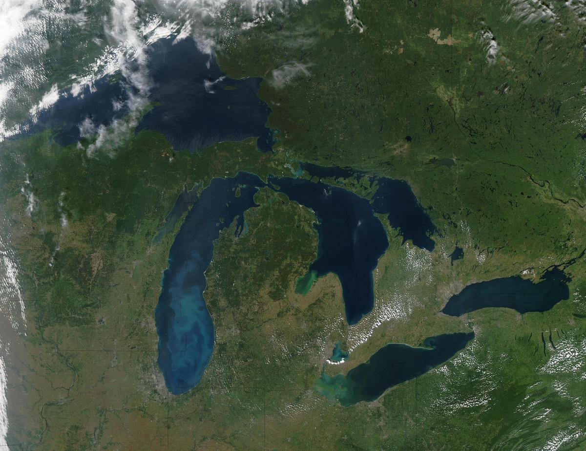
True-color Moderate Resolution Imaging Spectroradiometer (MODIS) image of the Great Lakes region. Image credit: NOAA Great Lakes Environmental Research Laboratory
This project will investigate how per- and polyfluoroalkyl substances (PFAS), known as forever chemicals, are transported through the air and into surface water in the Great Lakes region.
Project description
Project description
This project will investigate how per- and polyfluoroalkyl substances (PFAS), known as forever chemicals, are transported through the air and into surface water in the Great Lakes region. PFAS measured in rainwater samples will be used to trace PFAS from rain to lake sediments and river waters. Atmospheric modeling will also trace the trajectory of PFAS through the atmosphere to identify where it originated. This study will demonstrate a framework to track PFAS from sources through rain and into rivers and lakes. This framework will lead to better-informed decision-making processes for inter-state and inter-region water management.
This project aims to uncover important information in three key areas:
- Pinpointing where PFAS comes from in the air, with detailed maps of regional sources.
- Understanding how PFAS levels in the air contribute to PFAS concentrations in other environments.
- Creating profiles of PFAS sources using a specific method (PMF) and estimating their contributions to PFAS levels from wet deposition.
This newfound knowledge will help us take better actions to protect people in the Great Lakes region from PFAS pollution. By figuring out which sources are causing the problem, we can target those areas for cleanup. The approach we're using can also be applied in other parts of the country that have similar monitoring sites. We'll share what we learn in scientific publications, focusing on how PFAS tracers end up in sediment and tributaries and the specific regions where PFAS is coming from. Additionally, we'll make this information accessible to managers and the public through maps highlighting the most important sources of PFAS in the Great Lakes region and a toolkit.
Funding
This project is funded by a $249,997 award (G23AP00041-00) from the United States Geological Survey, Upper Midwest Water Science Center. The project began December 19, 2022 and ends December 18, 2025.
The U.S. Geological Survey, in cooperation with the National Institutes for Water Resources, supports an annual call for proposals to focus on specific water priorities. Any investigator at an accredited institution of higher learning in Minnesota is eligible to apply through the Water Resources Center.
Project team
Principal Investigator:
Alexander Frie, University of Minnesota Sea Grant College Program.
Co-Investigators:
Bridget Ulrich, University of Minnesota Duluth.
Martin Shafer, Wisconsin State Laboratory of Hygiene, University of Wisconsin-Madison.
Timothy Griffis, University of Minnesota Twin Cities, Department of Soil, Water, and Climate.
Tiffany Sprague, University of Minnesota Duluth, Natural Resources Research Institute.
Collaborators:
Stephen Corsi, United States Geological Survey, Upper Midwest Water Science Center.
Lead scientist(s)
Alex Frie
afrie@umn.edu
Research and Fellowship Coordinator
Minnesota Sea Grant College Program
University of Minnesota Duluth